

GULF MENHADEN
Gulf menhaden (Brevoortia patronus) play a vital role in the Gulf of Mexico ecosystem. Similar to their Atlantic counterpart, Gulf menhaden are a critical forage species, serving as prey for a wide variety of fish, birds, and marine mammals.
They are a key food source for commercially and recreationally important species such as red drum, king mackerel, cobia, and various sharks.
As filter feeders, Gulf menhaden also contribute to maintaining water quality by consuming phytoplankton and zooplankton.
Their ability to convert these microscopic organisms into energy and protein supports the Gulf's diverse marine food web, making them an essential link between primary producers and higher trophic levels.
WHY GULF MENHADEN MATTER
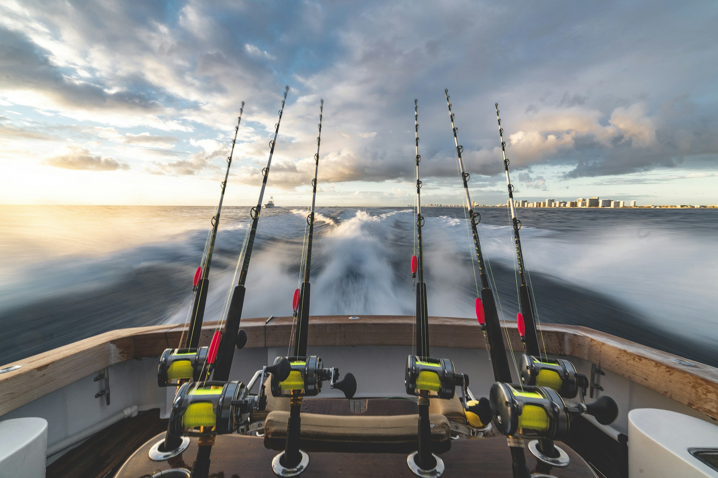
The Gulf menhaden fishery, like the Atlantic fishery, consists of both reduction and bait components.
The reduction fishery accounts for the majority of Gulf menhaden landings, with purse seine vessels targeting large schools of menhaden in coastal waters.
Caught menhaden are processed into fish meal, fish oil, and other products used in animal feed, aquaculture, and dietary supplements.
Concerns have been raised about the potential ecological impact of large-scale menhaden harvest in the Gulf.
The removal of substantial numbers of this forage species could affect the availability of prey for dependent predators, potentially influencing their population dynamics and the overall health of the ecosystem.
REDUCTION FISHING IN THE GULF
Many species in the Gulf of Mexico rely on menhaden as a crucial prey item, and the depletion of Gulf menhaden populations could have cascading effects on these species:
Red drum: Gulf menhaden are a significant food source for red drum, a popular recreational game fish. Reduced menhaden availability could impact the growth and reproduction of red drum populations.
King mackerel: These highly prized game fish feed heavily on Gulf menhaden, and their abundance and distribution may be influenced by menhaden availability.
Coastal birds: Brown pelicans, ospreys, and other coastal bird species depend on Gulf menhaden as a reliable food source during breeding seasons. Insufficient menhaden prey could negatively affect nesting success and chick survival.
Sharks: Various shark species, including blacktip and bull sharks, consume Gulf menhaden as part of their diet. Declines in menhaden populations could alter the feeding behavior and distribution of these top predators.
GULF SPECIES AT RISK
Unlike Atlantic menhaden, Gulf menhaden are not managed by an interstate commission. Instead, management responsibilities fall to the individual states along the Gulf Coast.
The Gulf States Marine Fisheries Commission (GSMFC) provides a forum for discussing and coordinating menhaden management, but it lacks the regulatory authority to implement binding management measures.
In the absence of a cohesive Gulf-wide management strategy, concerns remain about the sustainability of Gulf menhaden harvest and its potential impact on the ecosystem.
Advocates are working to promote ecosystem-based management approaches that prioritize the ecological role of Gulf menhaden and ensure their long-term conservation.
Continued research, collaboration among stakeholders, and public awareness are crucial to developing and implementing effective management strategies that balance the needs of the reduction fishery with the ecological importance of Gulf menhaden in supporting a healthy and resilient Gulf of Mexico ecosystem.
GULF MANAGEMENT INFO
Who Are They and Where Are They Now?
The Gulf menhaden reduction fishery operates a larger fleet, with approximately 32 vessels (26 fishing boats and 6 run boats). Key characteristics include:
Vessel size: The Gulf fleet generally consists of smaller vessels compared to the Atlantic fleet. Most vessels are between 160-170 feet (49-52 meters) in length.
Age of fleet: Many vessels in the Gulf fleet were built in the 1970s and 1980s, making it an older fleet on average compared to the Atlantic.
Ownership: The fleet is primarily split between two companies: Omega Protein Inc. and Westbank Fishing (Daybrook Fisheries).
Home ports: Vessels operate from various ports along the Gulf Coast, including Morgan City, Empire, and New Orleans in Louisiana, and Moss Point in Mississippi.
Recent additions: The fleet has seen some modernization, with vessels like the "Vermillion" (aka SPT Protector) being added in recent years to expand fishing capacity.
Vessel types: The Gulf fleet includes a mix of dedicated fishing vessels and converted vessels, some of which were previously used in the oil industry.
Omega Protein-owned reduction vessels include:
Louisiana-based: Albert J. Bourg, Atchafalaya Bay, Bull Dog, Cote Blanche Bay, G.P. Chauvin, Galveston Bay, Grand Cheniere, Grande Batture, Gussie J. Flynn, Helge Hovland, Marsh Island, Mermentau
Mississippi-based: Mississippi Sound, Oyster Bayou, Q.O. Dunn, Raccoon Point, Rachel Burton, Sea Bee, Terrebonne Bay, Tiger Point, Timbalier Bay, Vermillion, Willard P. Lebeouf

Our website utilizes VesselFinder.com's map service to provide real-time vessel tracking information.
This interactive map allows you to monitor the movements of the Atlantic menhaden reduction fishery.
Key Features:
Real-time vessel positions (updated every 5 minutes)
Historical vessel tracks (up to 7 days)
Vessel details including name, type, and destination
Daybrook Fisheries-owned reduction vessels include:
Maria C., Mary Judith, Mary Virginia, Sea Charger, Sea Falcon, Sea Wasp, Sea Wolf, Vasco da Gama
Please note:
Vessel positions are based on AIS (Automatic Identification System) data, which may be affected by technical limitations or intentional deactivation.
Not all vessels are equipped with AIS transponders, and therefore may not appear on the map.
There may be a delay between a vessel's actual position and its displayed position on the map.
The historical tracking feature is limited to the past 7 days and may not represent a vessel's complete journey.
Disclaimer: The vessel tracking information provided through VesselFinder.com is for informational purposes only. While we strive to ensure the accuracy and timeliness of the data, we cannot guarantee its completeness or reliability. The information should not be used for navigation or any purpose relating to the safety of maritime traffic.
By using this map, you acknowledge that Menhaden Defenders and VesselFinder.com are not responsible for any errors or omissions in the data provided. For the most up-to-date and accurate maritime information, please refer to official sources such as coast guards or port authorities.
Legal Notice: Menhaden Defenders expressly disclaims and strictly prohibits any use of the information provided herein to threaten, harass, or commit any act of violence against any individual, vessel, or entity engaged in fishing activities. Any such actions are strictly forbidden and may result in civil and/or criminal penalties. Menhaden Defenders advocates only for lawful and peaceful means of marine conservation and resource management.
For more information about the data source and terms of use, please visit VesselFinder.com.
Where Have They Fished?
Use this interactive map to track past activity by the 10 confirmed menhaden reduction vessels.

Our website incorporates Global Fishing Watch's (GFW) map service to provide comprehensive vessel tracking information.
This innovative tool allows you to monitor past activity of the Atlantic menhaden reduction fishery until about 3 days ago.
About Global Fishing Watch: Global Fishing Watch is a collaborative initiative founded in 2015 by Oceana, SkyTruth, and Google. It aims to promote ocean transparency and sustainability through cutting-edge technology and data analysis.
Key Features:
Visualization of global fishing activity from 2012 onwards
Tracking of over 100,000 commercial fishing vessels
Open-access platform for public monitoring
Collaboration with leading scientific institutions for data analysis
Data Applications:
Support for marine protected area design and management
Promotion of transparency in ocean governance
Facilitation of data-driven policy decisions for ocean conservation
Please note:
The map utilizes AIS (Automatic Identification System) data, which may not capture all fishing activity.
Vessels without AIS transmitters or those with deactivated units may not appear on the map.
The data represents a significant portion of the ocean's seafood catch, but not its entirety.
Temporal and spatial gaps in data may exist due to technical limitations or intentional data manipulation.
Disclaimer: The fishing activity information provided through Global Fishing Watch is for informational and research purposes only. While we strive to ensure the accuracy and comprehensiveness of the data, we cannot guarantee its completeness or reliability. This information should not be used for navigation or any purpose relating to maritime traffic safety.
By using this map, you acknowledge that Menhaden Defenders and Global Fishing Watch are not responsible for any errors or omissions in the data provided. For the most up-to-date and accurate maritime information, please refer to official sources such as national fisheries agencies or international fisheries management organizations.
Legal Notice: Menhaden Defenders expressly disclaims and strictly prohibits any use of the information provided herein to threaten, harass, or commit any act of violence against any individual, vessel, or entity engaged in fishing activities. Any such actions are strictly forbidden and may result in civil and/or criminal penalties. Menhaden Defenders advocates only for lawful and peaceful means of marine conservation and resource management.
For more information about the data source, methodology, and terms of use, please visit GlobalFishingWatch.org.
BECOME A DEFENDER
Join the chorus of American citizens advocating for:
Sustainable, equitable fishing practices
Protection of vital marine ecosystems
Transparent, science-based management
Preservation of coastal community heritage
By providing your email, you agree to receive occasional communications
from Menhaden Defenders and you agree to our terms and conditions.